
Blog
Robotic Total Station vs Manual Surveying
Sep
Survey work is essential to every project, and starting one without one would be risky. First of all, the types and dimensions of the area, which effectively become the base for planning and accurate data, are very necessary for the surveyors. The manual survey was the only means that was used in the past. It was done by surveyors moving around with tools and taking measurements. This process was very slow and full of errors. However, modern tools have made surveying fast and reliable. Robotic total stations are one such device that provides both speed and accuracy compared to traditional manual surveying. In this article, we will compare both methods in detail and understand the advantages and disadvantages of modern tools.
What is Manual Surveying?
Manual surveying is a traditional method in which surveyors stand in the field with their own tools and take measurements of every angle. It used old tools like tapes, levels and compasses. This method was used for simple projects but proved tough and time-consuming for bigger projects.
In the manual survey process, data had to be written down at every step, which increased the chance of error. If the land was barren or the field was uneven, it became even more challenging. Another major problem of manual surveying was that it took days to complete a project and sometimes the data was not reliable. In today’s modern times, manual surveying is used only for those projects that are small and simple.

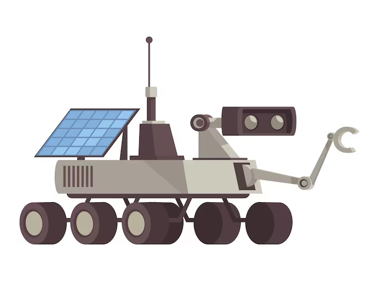
What is Robotic Total Station?
Surveying has been transformed by the clever, contemporary Robotic Total Station. It collects accurate information through the use of sensors and lasers and provides surveyors reliable and up-to-date results. As the device is operated from a distance, surveyors can, hence, go to a location where it might be difficult or unsafe to take measurements. Its software ensures error-free project records by automatically saving data.
Using the Robotic Total Station, a large land area can be covered in a short time, and data is processed in real time. This tool is not only helpful for construction projects but is also an excellent choice for farmland mapping and road-building projects. While the device costs a little more than a manual survey, its results and speed make it worth it.
Disadvantages of Manual Survey
Manual surveying used to be a reliable method, but it has several drawbacks that make it unsuitable for modern projects. This method requires a lot of effort and produces slow results. Below are some key points that explain the weaknesses of manual surveying:
- Manual surveys take a lot of time.
- Human error can happen at every step.
- It is weak for large land projects.
- Maintaining accuracy is tough
- Both labor and cost become high
These points show that manual surveying is no longer a reliable option in the modern era.
Advantages of Robotic Total Station
Robotic total station surveying is a smart solution for the field, utilizing modern technology. This system makes every survey project fast and error-free. Below are its benefits that explain why this tool is essential for surveyors:
- Gives fast and accurate measurement of every point
- It is operated remotely, which makes it easy
- Data is saved directly in the system
- The chance of human error is very low
- Large projects are covered in a short time
These features make the robotic total station the best choice for every construction and farming project.

Faro Focus Premium Laser Scanner
An advanced product that has proven to be a game changer for surveyors is Faro Focus Premium Laser Scanner. This device provides a 3D scan of land and buildings, which contains clear data from every angle. If you are constructing a building, then it is important to take accurate measurements of every wall and corner and Faro Focus provides all this data in a fast and error-free form. This product is also used in farming and mapping projects where a detailed map of the land has to be made. Its design is modern and it is easy to use, which makes every surveyor fast and efficient in his work.
FJD AH2 Hydraulic Autosteer Kit
FJD AH2 Hydraulic Autosteer Kit This is a modern upgrade made for heavy machinery. The kit is GPS and hydraulics controlled to ease and upgrade the intelligence of the construction and agricultural works. Vehicles like tractors and other machines can get more efficient in a straight, accurate line, and as a result, they can make fewer mistakes and take less time and fuel.
Farmers are empowered to make expert results, triple productivity, and complete the job in less time and with less strain. The device is also very helpful for surveyors and contractors, as it facilitates the use of modern instruments and renders the projects more dependable. With these features, the kit is a smart choice for anyone who wants better results in farming, construction, or surveying.
FJD AS2 Steer Ready Autosteer System
FJD AS2 Steer Ready Autosteer System This product is made for farming and survey projects. It runs machines in a smart and efficient way, which makes work easy and smooth. The software is simple to use and helps save both time and fuel during long tasks. For large land projects, this system is a great choice because it gives accurate results and reduces common errors. It is a modern tool that every farmer and surveyor can use to improve daily work. It is more dependable, stronger, and faster than manual systems. From the beginning to the end, this makes your project smarter and more efficient.

Leica GS18 GNSS RTK Rover
Leica GS18 GNSS RTK Rover This is a powerful and reliable product that is very useful for survey projects. It uses RTK technology to give real-time and accurate results for every task. Because the data that it offers is both fast and accurate, this product is considered one of the best choices in fieldwork, such as a land or construction project.
What is more, its strong and durable design makes it even more efficient in tough field conditions. In addition, it is also a user-friendly product, which makes it suitable for both beginners and experienced persons. Furthermore, this device is an absolute essential for work that needs to stay productive, timesaving, and accurate. Ultimately, it is a modern tool that gives surveyors a professional edge and helps make every project future-ready.
Conclusion
Surveying is the base of every project because no work can start safely without it. In the past, manual surveying served as the common method for small projects, but it has many limits. For instance, it takes more time, needs more effort, and mistakes can happen easily. However, modern equipment such as robotic total stations now solves these problems.
In fact, such a total station simplifies a surveyor’s work and provides quick, precise, and accurate results. Moreover, a surveyor can use a combination of the Faro Focus Premium Laser Scanner and the Leica GS18 GNSS Rovers to collect proper and error-free data. Similarly, the use of the FJD AH2 and AS2 autosteer kits in agriculture and construction not only saves fuel and time but also produces better results. Therefore, if you want to bring modernity and professionalism to your projects, you should take the step of using robotic total stations and advanced tools.
FAQs
Q1. For which project is a manual survey best?
This is best for small and simple projects.
Q2. What is the main advantage of a robotic total station?
It provides fast and accurate data.
Q3. What is a Faro Focus scanner used for?
It is used for building and land surveying.
Q4. What are the main features of the Leica GS18?
This RTK rover gives real-time and accurate data.
Q5. Where are Autosteer systems used?
These are used in farming and construction projects.